How to Book a Legitimate Jawai Safari: Registered Operators, GPS Rules and Red Flags
Bera, Sena, and Devgiri are the three names you’ll hear most often when a Jawai safari is being planned, and most content about them focuses on which is prettiest, which has the most reliable sightings, or which base puts you closest to each. That’s useful information, but it isn’t this article. This piece is about something less discussed and, in 2026, considerably more important: how zone access, rotation, and permits actually work under the new committee system, and what that means practically for how your safari gets routed on any given morning.
Zones Were Never Formal Boundaries Until Recently
Before the 2026 court order and the Forest Department’s new Standard Operating Procedure, “Bera,” “Sena,” and “Devgiri” were geographic shorthand, useful ways to describe roughly where a safari would run, based on which villages and hill clusters the route passed through, rather than formal, permitted zones in the way a national park has clearly bounded ranges. Operators developed informal familiarity with each area over years of driving there, learning which outcrops tended to have active den sites, which tracks were passable in different seasons, and which Rabari families’ land the routes crossed. This worked because the community of serious operators was small enough to self-regulate through reputation and repeated contact rather than formal permitting.
How the Coordination Committee Changed This
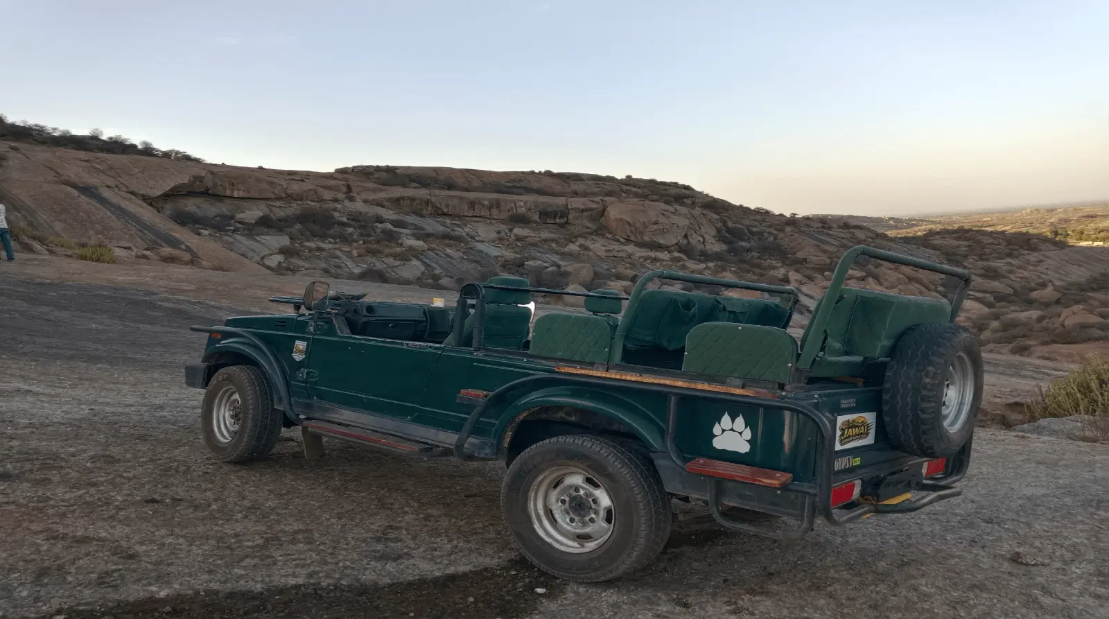
The Jawai Safari & Eco Tourism Coordination Committee, established as part of the 2026 order, introduced a more formal structure around vehicle registration and, with it, greater visibility into where registered vehicles actually operate. Because every registered vehicle carries a mandatory GPS tracker, the committee has, for the first time, a real-time and historical picture of vehicle movement across the whole safari area, including how concentrated traffic gets in any one zone at any one time. This doesn’t mean each zone now works like a numbered park block with a hard visitor cap the way core zones at Ranthambore do, Jawai’s system remains considerably less rigid, but it does mean there is now a mechanism for the committee to observe patterns, flag overcrowding at popular sighting spots, and, in principle, guide operators toward better distribution across zones rather than everyone converging on whichever area had a sighting reported yesterday.
How Operators Actually Choose a Zone on a Given Morning
In practice, zone selection for your specific safari is less about a fixed permit assigning you to Bera for the week and more about a naturalist’s real-time read of recent activity, season, and radio communication with other registered vehicles. A few factors typically drive the decision:
- Recent sighting reports. Registered operators share information across a radio or phone-based network, and recent, credible activity in one zone will often pull vehicles toward it for the next day or two.
- Season. Water availability, vegetation cover, and denning activity shift across the year, and experienced naturalists adjust which zone they favour accordingly, some areas produce better sightings in the dry months, others hold interest better after monsoon greenery has grown in.
- Vehicle density. A naturalist aware that a particular outcrop has drawn several vehicles already that morning may deliberately route toward a quieter zone, both out of courtesy to the animal and because a crowded sighting spot rarely produces a good experience for anyone in it.
- Guest priorities. Photography-focused guests might be routed toward a zone known for better light or more open sightlines at a given time of day, while guests more interested in general landscape and birdlife might be steered toward areas near the dam.
This is why a genuinely good operator will rarely guarantee a specific zone in advance, and treat any such guarantee with real caution, the whole point of an experienced naturalist’s value is the ability to read the morning and adjust, not to commit to a fixed plan regardless of conditions.
Bera: The Best-Known Zone
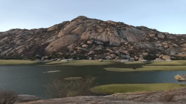
Bera is the area most associated with Jawai’s leopard safaris internationally, partly because of its concentration of accessible granite outcrops and partly because it was among the first areas where organised safari tourism developed. Operationally, this means Bera also tends to see the highest vehicle density on any given morning, since both new and established operators default toward it. A registered operator with real local knowledge will often use Bera as a starting assumption but adjust based on the density and recent-activity factors above, rather than defaulting there purely out of habit.
Sena: A Quieter Alternative
Sena’s terrain and den sites give it a genuine claim to comparable wildlife activity to Bera, with generally lower vehicle traffic, largely a function of Bera’s stronger name recognition rather than any real difference in underlying leopard density. Operationally, this makes Sena an attractive option for naturalists trying to avoid overcrowded sighting spots, and it’s often the zone a good operator will pivot to when Bera has drawn unusually heavy traffic on a given morning.
Devgiri: Terrain and Access Considerations
Devgiri includes some of the more rugged terrain among the three zones, with temples and shrines built into the hills themselves, adding a cultural dimension to safaris that pass through it. Operationally, some of Devgiri’s tracks are less consistently passable across seasons than Bera’s or Sena’s, which means zone rotation into Devgiri is sometimes more weather- and season-dependent than the other two areas, a factor a good naturalist will factor into route planning rather than treating all three zones as interchangeable year-round.
What “Permits” Actually Means Here in 2026
It’s worth being precise about terminology, since “permit” can suggest a system closer to a national park’s numbered entry tickets than what actually exists in Jawai. What exists is vehicle registration with the coordination committee, which authorises a vehicle to operate commercially across the safari area broadly, rather than a permit tied to a specific zone or a specific daily quota the way core-zone tiger reserve permits work. The daylight-hours restriction, the GPS tracking requirement, and the behavioural rules, no spotlighting, no baiting, no playback, no drones, apply uniformly regardless of which zone a registered vehicle operates in. Zone choice within a legitimate safari is an operational and naturalist-skill question, not a separate permitting hurdle you need to navigate yourself as a visitor.
Why This Matters When You’re Booking
Understanding that zone selection is a live, adaptive decision rather than a fixed booking detail should change how you evaluate an operator’s pitch. Be genuinely cautious of any operator who promises a specific zone, or worse, a specific leopard or den site, as part of a locked-in itinerary before your trip, since a naturalist who is actually good at this job reserves the right to adjust based on conditions on the day. A better sign is an operator willing to explain, in general terms, how they’ll decide the morning’s route based on recent activity and season, which shows genuine operational knowledge rather than a scripted sales pitch.
How This Shapes What We Recommend
When we put together a Jawai itinerary, we don’t lock you into a single zone in advance, we work with registered operators who make that call based on live conditions, and we’re upfront with you about why that flexibility tends to produce a better outcome than a fixed promise would. If you have specific interests, photography, birdlife near the dam, cultural sites within Devgiri’s hills, we factor that into which operator and general area we point you toward, while leaving room for the naturalist’s judgment on the day itself. Message us on WhatsApp for current pricing and a quote tailored to your dates and group size, and we’ll talk through how zone selection is likely to play out for your specific trip.
The GPS Layer: What It Actually Enables Operationally
Beyond enforcement of the daylight-hours rule, the GPS tracking requirement gives the coordination committee a dataset that didn’t exist before 2026: an accumulating picture of exactly how vehicle traffic distributes across Bera, Sena, and Devgiri over time. In principle, this lets the committee identify patterns that were previously only anecdotal, whether a particular outcrop is receiving vehicle visits far beyond what’s sustainable for the wildlife using it, whether certain tracks are being used more heavily during denning season than is advisable, and whether zone rotation among operators is happening in a way that spreads pressure reasonably evenly rather than concentrating it. This is a genuinely new capability for Jawai, since no equivalent monitoring existed under the informal pre-2026 system, and it’s part of why the registration and tracking requirements, while sometimes experienced by visitors as simply an administrative detail, represent a meaningful shift in how the whole safari area is managed.
Seasonal Zone Shifts Worth Knowing About
Zone character shifts across the year in ways that affect operational decisions beyond just today’s traffic and sightings. During the drier months, water sources become more concentrated and predictable, which can make certain zones near reliable water more consistently productive. After monsoon, when vegetation is denser and greener across all three zones, visibility can shift, and naturalists sometimes favour areas with more open rock exposure over those with heavier scrub growth for a better chance at a clear sighting. None of this is guesswork specific to any one season being universally “better,” it’s a case-by-case operational read that an experienced naturalist builds up over repeated seasons in the same zones, which is part of why the specific person guiding you matters as much as which zone you end up in.